Παρασκευή 30 Μαΐου 2014

Audi Selects TomTom-AutoNavi for Real-Time Traffic in China


TomTom and its Chinese partner AutoNavi have been selected by Audi to provide real-time traffic information in vehicles of the German manufacturer.

TomTom and AutoNavi will initially provide traffic services for the Audi A3 model.

TomTom Traffic was launched in China early 2014 and is said to cover 6 million kilometers of roads (read here).

TomTom vs AutoNavi vs Alibaba
TomTom and AutoNavi have formed a joint venture at the end of 2010 to work together on digital maps and traffic services. The entity is 51% held by AutoNavi and 49% held by TomTom.

This alliance could nevertheless be endangered by the current acquisition of AutoNavi by giant e-commerce supplier Alibaba (read here) which is interested in the mobile assets of AutoNavi, not much in its automotive business. 
 
INRIX vs TomTom
While INRIX is traditionally the partner of Audi for real-time traffic (North America, Western Europe, Russia) this time the German car maker choose to work with TomTom.  

Via gpsbusinessnews

Πέμπτη 29 Μαΐου 2014

Neo Android iGO Primo Sys.TEXT στην εκδοση Expansion Liner απο το naviphone-hellas.gr

Android iGO Primo Sys.TEXT Expansion Liner


adjustment for all versions of iGO primo & more Skins to Android for all devices


Διορθώσεις/Προσθέσεις/Αναβαθμίσεις:

2D Fix
Map Fix for HD devices 16 TMC Servers


και όπως πάντα:
Text in myPOI (copy the file
mapstates.ini in folder save\profiles)
adjustment for Doupas Skin (LINK: ΕΛΛΗΝΙΚΟ ΣΚΙΝ DOUPAS iGO Primo 2.4)
adjustment for all versions Greek version of iGO Doupas


Θα το βρείτε στο:  http://www.naviphone-hellas.gr

Δευτέρα 26 Μαΐου 2014

Neue Blaupunkt TravelPilot-Serie ab Mai erhältlich


NaviAb Mai 2014 sollen die neuen Modelle der TravelPilot-Serie aus dem Hause Blaupunkt in den Läden stehen. Insgesamt vier verschiedene Varianten bringt Blaupunkt auf den Markt: Den TravelPilot 41 CE und den TravelPilot 51 CE mit 4,3 bzw. 5,0 Zoll Bildschirmdiagonale und Kartenmaterial für Zentraleuropa sowie den TravelPilot 52 CE LMU mit zusätzlicher Bluetooth-Unterstützung und lebenslangen kostenlosen Kartenupdates. Als XXL-Variante hat der TravelPilot 72 EU LMU darüber hinaus einen 7-Zoll-Bildschirm und Karten für Gesamteuropa an Bord.


Zeitgemäße Hardware mit etwas kleinem Arbeitsspeicher

Für ruckelfreie Animationen soll ein neuer Multicore-Prozessor in allen Modellen sorgen, technische Details sind allerdings noch nicht bekanntgegeben worden. Der interne Speicher umfasst 4GB und reicht aus für die vorinstallierten Karten, er lässt sich aber über den microSD-Kartenslot leicht erweitern. Der Arbeitsspeicher fällt mit 128MB im Vergleich zur Konkurrenz gering aus, es bleibt abzuwarten, ob sich dies in der Praxis auch bemerkbar macht. Der HQ-TMC-Empfänger ist praktischerweise in das Ladekabel integriert, sodass keine lästige separate Antenne verlegt werden muss.
TravelPilot 52 und 72 lassen sich per Bluetooth an ein Handy koppeln und somit als Freisprecheinrichtung nutzen. Als besonderes Extra spendierte Blaupunkt dem TravelPilot 72 einen Videoeingang, an den optional eine Rückfahrkamera angeschlossen werden kann – sehr praktisch für Fahrer von großen Fahrzeugen und Gespannen. Passend dazu plant Blaupunkt demnächst spezielle Truck- und Camping-Varianten der beiden Topmodelle.


Solide Software mit cleveren Ideen

Wie mittlerweile in der Branche üblich, hilft ein Fahrspurassistent an unübersichtlichen Kreuzungen und Ausfahrten, den richtigen Weg zu finden. Straßennamen und Schilder werden über Text-to-Speech zur leichteren Orientierung wiedergegeben. Praktisch ist die Berücksichtigung von Umweltzonen: Nachdem man die Schadstoffklasse des eigenen Wagens eingegeben hat, vermeidet der Blaupunkt TravelPilot Fahrten in unzulässige Zonen. Ein Trip-Computer für gleich zwei Fahrzeuge erleichtert das Führen von Fahrtenbüchern und informiert neben der Distanz auch über Höchst- und Durchschnittsgeschwindigkeiten. Ebenfalls mit dabei sind die Blaupunkt BluPoints, die den Fahrstil in Hinsicht auf Wirtschaftlichkeit und Umweltfreundlichkeit bewerten und den Fahrer so zu sparsamerer Fahrweise anspornen. Wer den TravelPilot auch zu Fuß nutzen möchte, wird nicht enttäuscht: Die neue Generation kennt im speziellen Fußgänger-Modus auch enge Gassen, Treppen und erlaubt die Nutzung von Einbahnstraßen in falscher Richtung.

Günstig und gut ausgestattet

Die ab Mai erhältlichen Geräte beginnen voraussichtlich bereits bei einem Preis von 89 Euro für die kleinste Modellvariante TravelPilot 41 CE. Selbst das 5-Zoll-Gerät TravelPilot 52 CE LMU mit Bluetooth und lebenslangen kostenlosen Kartenupdates wird schon für günstige 129 Euro erhältlich sein und macht damit den Navis anderer Hersteller ordentlich Konkurrenz. Für den TravelPilot 72 EU LMU muss der Kunde dagegen deutlich tiefer in die Tasche greifen: Voraussichtlich 229 Euro soll die Topvariante der TravelPilot-Serie kosten.
Symbolfoto: Thinkstock, Hemera, Kwanjai Mueanyaem

Πέμπτη 22 Μαΐου 2014

TomTom GPS Navigation Traffic τρεχουσα εκδοση v1

Πολλοί περίμεναν πολύ καιρό για αυτό, τώρα TomTom έχει ξεκινήσει στην Ιταλία, προκειμένου να παρέχει πλήρως αναθεωρημένο app πλοήγησης για συσκευές Android μέσω του Google Play.


Πότε θα ειναι διαθέσιμο και για άλλες χωρες και στο ποτε θα λαβει και στο iOS υποστήριξη παραμένει ασαφής.Το λογισμικό βασισμένο στην νεα σειρα PND Go προσφέρει μια εντελώς νέα αντίληψη λειτουργίας και μια εκτεταμένη ολοκλήρωση της υπηρεσίας κίνησης TomTom, η οποία θεωρείται ως μια ειδική κινητήρια δύναμη της εταιρείας. Όπως προκύπτει από την περιγραφή στο ιταλικό κατάστημα Google Play, θα πρέπει να περιλαμβάνεται στην τιμή αγοράς της υπηρεσίας κυκλοφορίας TomTom για περιορισμένη μηνιαία απόσταση 75 χιλιόμετρων. Η πρώτη φορά που θα χρησιμοποιήσετε την εφαρμογή, οι χρήστες θα λάβουν επίσης ένα μπόνους 175 km...


The new TomTom GO Mobile app with world-class TomTom Traffic – Get there faster>> Download now and get 250 kilometres for free*
The new TomTom GO Mobile app is a sleek combination of the latest TomTom car navigation technology and world-class traffic information. You will always choose the best route available based on accurate, real-time traffic information that gets you to your destination faster, every day.
Only the TomTom GO Mobile app offers:
>> Vivid Traffic Overviews
>> Detailed Traffic Incidents
>> Accurate Traffic Jam Alerts
>> The Fastest Route
>> Clear Turn-by-Turn Instructions with Voice Guidance
>> A Stunning 3D View of the Road Ahead
>> Extra Clarity for Difficult Junctions
>> Offline Maps that do not require a data connection
>> Free Lifetime Map Updates**
>> Alerts for Speed Cameras
Download the TomTom GO Mobile app now and you will receive 250 kilometres of free service during the first month.* After the first month, you will continue to get 75 kilometres of free service every additional month. You can also purchase a subscription for unlimited kilometres. Select from a one month, one year or even a three year subscription, depending on your driving needs.
Enjoy 250 free kilometres: Download the TomTom GO Mobile app
For a detailed overview of all features and available maps, please go to: www.tomtom.com/navigation/android/go-mobile
* In addition to the 75 free kilometres that you receive every month, you will be given a one-time bonus of 175 kilometres when you first use the app. All unused bonus kilometres at the end of the month will be transferred over to the next month.
** You can download 4 or more full updates every year for the life of your app.
TomTom reserves its right to unilaterally withdraw and/or to amend this offer and/or to amend the terms and conditions.
The new TomTom GO Mobile app with TomTom Traffic - Get there faster

Περισοτερα στο https://play.google.com/store/apps/d...m.gplay.navapp
και στο http://www.tomtom.com/it_it/products...bile/index.jsp


πηγη: http://www.naviphone-hellas.gr/showthread.php/1980-TomTom-GPS-Navigation-Traffic-%CF%84%CF%81%CE%B5%CF%87%CE%BF%CF%85%CF%83%CE%B1-%CE%B5%CE%BA%CE%B4%CE%BF%CF%83%CE%B7-v1

Founder: OpenStreetMap Already As Good Or Better Than Google Maps

Steve Coast founded OpenStreetMap (OSM) in the UK in 2004. It’s 10 years old this year. He was inspired by the Wikipedia model and compelled by a lack of available map and location data in the UK at that time.
Coast now works for GPS navigation company Telenav, which owns location-based mobile ad network Thinknear. Not long ago Telenav also acquired Europe-based 
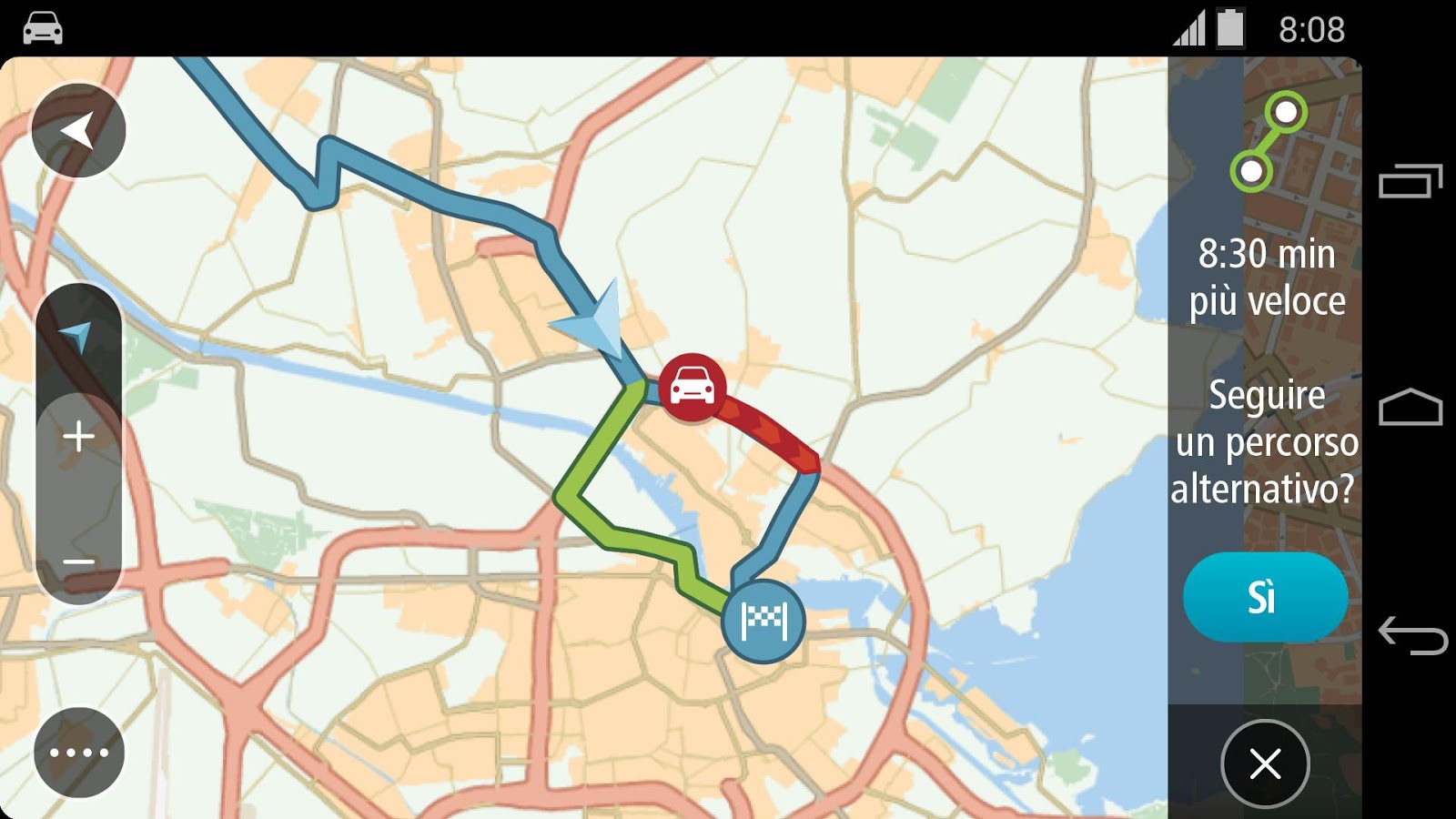
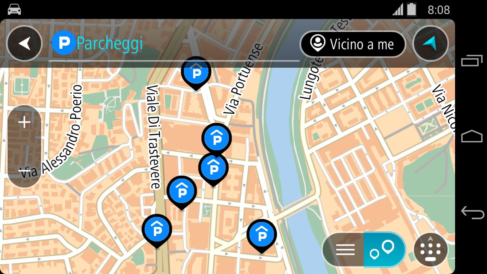
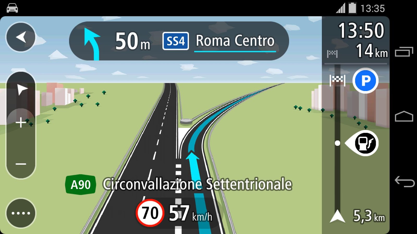
skobbler, which built a popular consumer-navigation app on top of OSM data. Telenav offers an equivalent, free consumer navigation/local search in Scout. The two apps are being merged later this year.
Earlier this week Telenav held a press day intended to discuss mapping and navigation and showcase the company’s capabilities and products. The company also made several announcements, including that Scout navigation and routing in the US are now entirely built on top of OSM, indicating how much the latter has matured.
Several sessions and speakers spent time contrasting Telenav’s mapping apps and capabilities with Google and Apple Maps.
OSM vs. Google Maps
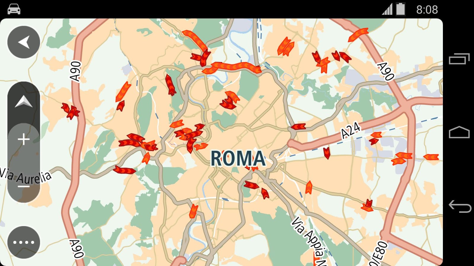
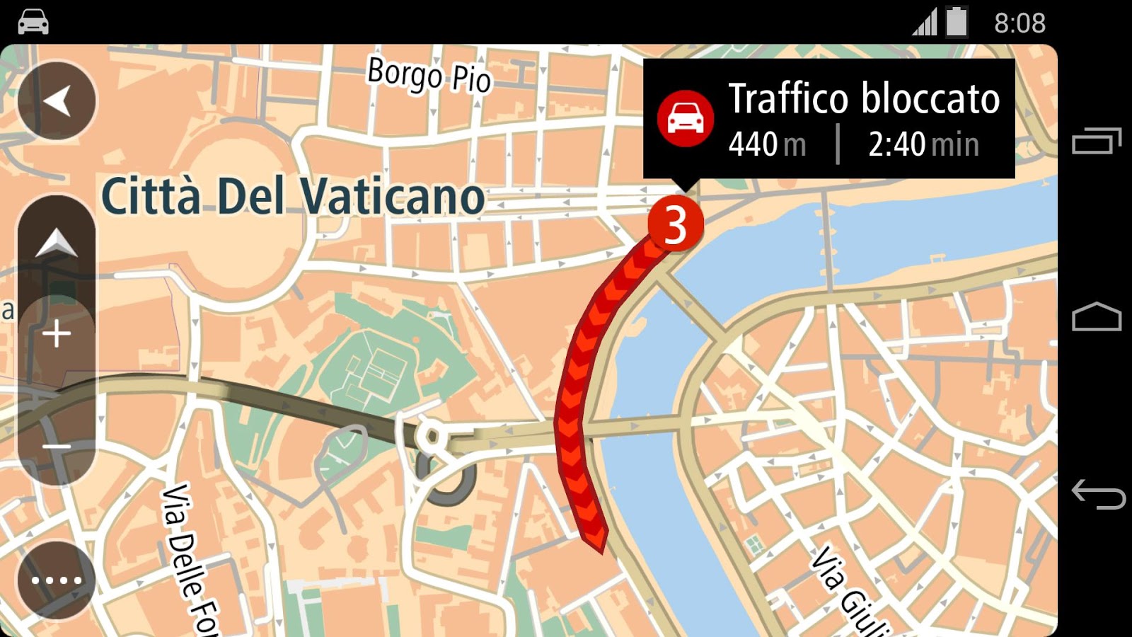
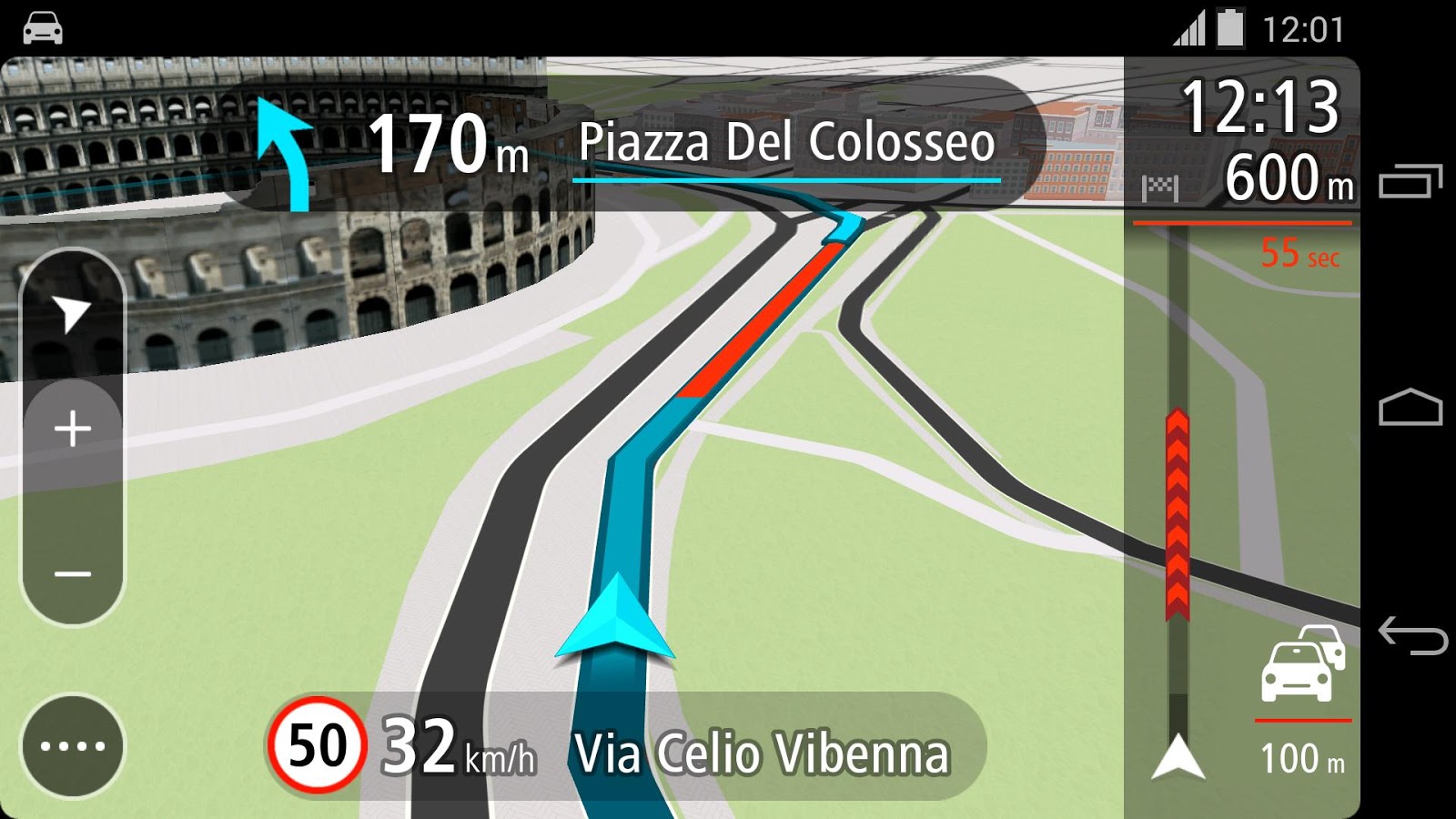
We were introduced to the OSM editing process by Coast and learned a great deal about OSM’s progress in the past few years. He and others at Telenav made the claim that in cities around the world (though not in some rural or undeveloped areas) OSM data are at least as good as Google Maps data.
In support of that Telenav showed a range of contrasting screenshots from cities around the world, including World Cup host country Brazil. I haven’t “reality checked” some of the claims by doing my own systematic comparison of Google (or Apple) Maps and OSM.
Nonetheless, the presentation was impressive. Telenav technical personnel also appeared to take special pleasure in comparing their offline mapping capabilities vs. those of Google Maps. (Nokia’s Here Maps have also long had offline functionality.)
OSM vs. Google Maps
“Google’s offline maps are basically just a small screenshot,” explained skobbler co-founder Philipp Kandal. By comparison, he said, users can download fully functional digital maps (of cities, states or countries) that include search and routing and can be used entirely offline without incurring any carrier data fees.
I spoke privately to Coast later in the day. My questions surrounded data quality and OSM controls to prevent mischief. He explained that there were a range of checks and balances to prevent “mapjacking.” He also said that Telenav had been testing routing via OSM for several months (prior to that day’s announcement). He said that it was at parity with Google Maps, which is quite a claim.
Coast asserted that OSM data will only continue to get better and richer (although he would like much more UI polish). He said it would be difficult ultimately for Google to match OSM’s local editors and the specificity and quality of OSM’s data.
Ironically Google Maps were cast in the internet villain role (usually reserved for Apple) of being “closed” and “proprietary,” in contrast to OSM’s “open” and democratic model.
The major asset that Google has that OSM does not, however, is photography (Street View and indoor imagery). That may turn out to be a bulwark against any sort of OSM disruption of Google. That, and the fact that most ordinary map users (mobile, online) have little or no awareness of OSM.
In addition Telenav and Scout are not household brand names; Google was just named the world’s most valuable brand, partly because of global consumer awareness. Indeed, that’s the thing that smaller mapping companies (and even Bing or Nokia) are ultimately up against — the Google brand.
Postscript: Telenav also announced a developer SDK to integrate their routing and OSM mapping data into third party apps. Fitness app Strava is the first formally announced developer-publisher to build on top of the SDK.

VIA

Τετάρτη 21 Μαΐου 2014

Working with Commercial Motor Magazine, the latest issue talks about Truckmate Sat-Navs and the new features they may include

Working with Commercial Motor Magazine, the latest issue talks about Truckmate Sat-Navs and the new features they may include. Our units start at £229.99 available at www.snooper.co.uk

Mercedes showcases self-driving S 500 powered by HERE

heck out the video below. In partnership with HERE, Mercedes introduces its amazing S 500 Intelligent Drive concept car to style journal Monocle.

The firm describes the S-Class as, “The embodiment of the cutting edge technology that has placed Mercedes at the forefront of the automotive industry.” It is Mercedes’ showcase for new technology that will eventually find its way across the range.
What makes it such a paragon of technological excellence? There is a host of new features.
The car has radar sensors and stereoscopic cameras that have a 360-degree view around the vehicle. These are coupled with intelligent controls which not only identify other cars, pedestrians and other obstacles. They also process the input from the sensors to predict what’s going to happen around it and assist the driver in avoiding accidents, stopping the car before it collides with anything, or anyone.
sensors1
The system is faster to react than a human driver, of course. It never lets its attention wander, or gets tired. And it has a much wider field of view. The Mercedes S 500 was the car used for the historic automated journey through 100km of German cities and countryside we reported on in September.
mercedes1
To more accurately predict what’s going to happen, HERE is also a key part of the solution, of course. As well as avoiding collisions, the car needs to know where it is, with incredible detail, where it’s going and how to get there, and that’s our job.
ogi“The technology we developed with Mercedes-Benz allowed us to provide the foundation for automated driving. We took next-generation mapping to its full potential. We collected, processed and published all the data to build an entire new virtual reality of the route the S 500 took,” says Ogi Redzic, VP of Connected Driving at HERE.
Using our data, in addition to the sensor data, the car could decide an appropriate speed for the road, know which lane it should aim to be in, what was coming up, and everything else it needed to know to complete the 100km journey.
“Autonomous vehicles will radically transform how we live and work, ushering in a new era of personal mobility,” Ogi concludes.

Τρίτη 20 Μαΐου 2014

Pioneer NEX receivers will make any car iOS CarPlay-compatible

dsc01837.jpg
Adding iOS CarPlay compatibility to any car will soon be as simple as swapping your stereo. Antuan Goodwin/CNET

We've seen Apple's iOS CarPlay demonstrated by OEMs from Hyundai to Mercedes-Benz to Ferrari in new cars that should be arriving later this year, but with Pioneer's latest announcement, the car that you already own could be the first to experience Apple's smartphone integration software.
The aftermarket car-stereo giant recently announced that five models in its current lineup of NEX series car multimedia receivers will get a firmware update early this summer to add full, one-wire iOS CarPlay compatibility when connected to an iPhone 5, 5S, or 5C running iOS version 7.1 or better.


dsc01859.jpg
Apple Maps, iTunes Radio, and Siri-commanded voice calls and text messages are all handled via CarPlay. Antuan Goodwin/CNET

More

Παρασκευή 16 Μαΐου 2014

AND to Build Navigation Map of North America with ALK Technologies


Dutch digital map supplier AND announced today the signature of a significant contract with ALK Technologies, a subsidiary of Trimble, to create a high quality navigation map of the United States and Canada.

“ALK Technologies will contribute its own navigation map of the United States and Canada, which is already extensively used within various navigation applications, systems and logistic solutions. AND is entitled to deliver the map to third parties,“ wrote AND in a statement.

ALK Technologies has been maintaining its own map data of North America with an internal team of GIS engineers to support its routing and mapping software for logistics, PC Miler, for thirty years.

In 2012 the company started to offer this map database to third party (read here). However, this database is particularly dedicated to the trucking industry. It made sense to partner with a map data vendor such as AND to further enrich the data and market it to customers that are not the regular prospects of ALK. 
 
The AND upgrade and enrichments program of the North American map is planned to run until mid-2015, however parts of the improved maps will become commercially available before the fourth quarter in 2014.

As a result of this contract and its financial results of 2013 (read here) AND decided to make a payment of €372,714 to its shareholders. 

TomTom Now Offers Fixed Speed Camera Database for Russia


1
TomTom Now Offers Fixed Speed Camera Database for Russia
TomTom has started offering a database of 3,000 fixed speed and red light cameras for Russia.

TomTom has partnered with a leading Russian crowdsourcing service for drivers called Second Pilot to enhance its Speed Cameras Service in Russia.

The service will be delivered directly to devices as a hosted service, or via a server-to-server bulk feed.

This is the 50th country where TomTom has coverage for its fixed speed camera service. TomTom also offers a near real-time database of mobile speedcam in 28 countries.

“The TomTom Speed Cameras service is based on governmental sources, news feeds, field surveys, and third-party sources in selected countries,“ explained TomTom in a statement.

“It’s also based on community input from more than 3.5 million TomTom drivers around the world. Camera reports, confirmations and removals are processed automatically by our sophisticated Fusion Engine, which runs 24/7. The real-time processing of over one million reports per month ensures that the TomTom Speed Cameras content is always up-to-date.“

Τετάρτη 7 Μαΐου 2014

TomTom Go 40, 50, 60 Unveiled with Bluetooth Tethered Real-Time Traffic

PND Market not Dead Yet?


 TomTom Go 40, 50, 60 Unveiled with Bluetooth Tethered Real-Time Traffic 


Dutch GPS maker TomTom today unveiled three new mid-range Personal Navigation Devices (PND) in Europe: TomTom Go 40, 50, and 60 all coming with lifetime traffic subscription enabled through Bluetooth tethering with a compatible smartphone and data plan.

The devices are available these days online and in-store starting at €159.

The essential difference between these three new devices is the size of the screen: 4.3 inch, 5 inch or 6 inch. But unlike the higher-end TomTom GO 400, 500 and 600 these touchscreen displays are not capacitive.

TomTom Go 40, 50, and 60 are also coming with lifetime maps, i.e. up to four downloads of new maps per year for the entire life of the device.

“The TomTom GO is a travel companion for every driver who has ever had to battle through traffic congestion,” said Corinne Vigreux, Managing Director, TomTom Consumer “With this new TomTom GO series, we are broadening the availability of TomTom Traffic even further. Our aim is to help more drivers to avoid the jams and get there faster.”

This launch makes real-time traffic available to the whole line-up of TomTom PNDs in Europe with the exception of the entry level TomTom Start.

TomTom estimates that its traffic service requires 7Mb of bandwidth per month for 1 hour of drive per day in peak time traffic.

Is PND market dead?
In the first quarter of 2014, according to company data (read here), TomTom sold 832,000 PNDs in Europe (17 countries - 52% market share) and 152,000 in North America (19 percent market share). While the North American PND market was down 24 percent against the year ago quarter the European market was only down 12 percent.

TomTom actually made €125 million in revenue in the consumer segment against €124 million in the year ago quarter. This was due to “higher PND revenue in EMEA and higher sports revenue.“

Clearly the PND market is not dead yet, at least in Europe. This new line of mid range PNDs coming with high quality traffic might mitigate - or even stop - the decline of this consumer electronics category in Europe.


More: See below a video demonstration of the traffic information features available on this new line up (source: TomTom).

0

Get on the road, go off the grid, or plan the perfect weekend with the Google Maps app

When your life is moving fast, you need tools to keep up with your pace. Google Maps for mobile is the perfect travel companion for your daily commute, weekend errands, and (much-needed) vacations. Starting today, you now have even more ways to avoid life’s everyday hiccups with Google Maps for Android and iPhone/iPad:

Don’t miss your next turn or exit. The Google Maps app now shows you which lane to stay in or move to so you’ll never find yourself driving for miles down the wrong road. You’ll also have easy access to alternate routes while you’re navigating, so you can choose the best drive for you. To learn more about lane guidance availability, click here.

Don’t worry if you’re not online. Before setting off on your next vacation, hike, or roadtrip, search for an area and tap on its place info sheet, then when available, you can select “Save map to use offline,” and give your map a custom name, like “Toronto Vacation.” To find your offline maps, sign-in, tap the profile icon next to the search box in the top right corner, and scroll to see “Toronto Vacation” and other saved maps.

Don’t be late for last call. With new filters, you can browse through restaurants, bars and hotels by opening hours, rating, price, and more—where available—to find just what you’re looking for, right when you need it.

Don’t limit your options. Frequent Uber rider? If you have the Uber app installed, you can now compare your ride with transit and walking directions right from Google Maps in some cities. And if you choose the Uber option, you’ll jump right into the Uber app with just one click.

Don’t miss that train. With more than a million public transit stops on Google Maps, you’ll get reliable information to help you get where you’re going. Next time you’re in Chicago, search for directions to Lincoln Park Zoo, tap the train icon, and select “Depart at” to choose the time and day you want to leave—or even “last train home” for those night owls—so you get the most accurate transit information for your needs.

Don’t forget the park you wanted to visit. See places you’ve saved on Google Maps across all your devices when you’re signed in. And if you find a place you want to save on the go, search for the location you’re interested in, tap on the place card, and hit the star icon to save the location for later.

Don’t wait to explore your next vacation spot. Search for your ideal destination—anywhere from the Gateway Arch to the Taj Mahal—then tap on the place card to dive into Street View where available. You might even get a peek inside some hotels, restaurants, and more.

So, next time you’re caught up in a whirlwind of activity, make navigating your world a little easier. Take a moment to grab your phone, open up the Google Maps app, and find all you need to search, navigate and explore the world around you. Don’t worry—we’ve got you covered.

Τρίτη 6 Μαΐου 2014

TomTom Go 40, 50, 60 Unveiled with Bluetooth Tethered Real-Time Traffic (video)

PND Market not Dead Yet?

 TomTom Go 40, 50, 60 Unveiled with Bluetooth Tethered Real-Time Traffic Dutch GPS maker TomTom today unveiled three new mid-range Personal Navigation Devices (PND) in Europe: TomTom Go 40, 50, and 60 all coming with lifetime traffic subscription enabled through Bluetooth tethering with a compatible smartphone and data plan. The devices are available these days online and in-store starting at €159. The essential difference between these three new devices is the size of the screen: 4.3 inch, 5 inch or 6 inch. But unlike the higher-end TomTom GO 400, 500 and 600 these touchscreen displays are not capacitive. TomTom Go 40, 50, and 60 are also coming with lifetime maps, i.e. up to four downloads of new maps per year for the entire life of the device. “The TomTom GO is a travel companion for every driver who has ever had to battle through traffic congestion,” said Corinne Vigreux, Managing Director, TomTom Consumer “With this new TomTom GO series, we are broadening the availability of TomTom Traffic even further. Our aim is to help more drivers to avoid the jams and get there faster.” This launch makes real-time traffic available to the whole line-up of TomTom PNDs in Europe with the exception of the entry level TomTom Start. TomTom estimates that its traffic service requires 7Mb of bandwidth per month for 1 hour of drive per day in peak time traffic. Is PND market dead? In the first quarter of 2014, according to company data (read here), TomTom sold 832,000 PNDs in Europe (17 countries - 52% market share) and 152,000 in North America (19 percent market share). While the North American PND market was down 24 percent against the year ago quarter the European market was only down 12 percent. TomTom actually made €125 million in revenue in the consumer segment against €124 million in the year ago quarter. This was due to “higher PND revenue in EMEA and higher sports revenue.“ Clearly the PND market is not dead yet, at least in Europe. This new line of mid range PNDs coming with high quality traffic might mitigate - or even stop - the decline of this consumer electronics category in Europe. More: See below a video demonstration of the traffic information features available on this new line up (source: TomTom).